

UN Backs New World Map to Show Africa’s True Size
The United Nations has backed a move to reduce reliance on the centuries-old Mercator map projection and encourage maps that represent the actual size of continents more accurately.
The resolution, sponsored by African countries and led by Togo, was approved by 164 countries. The United States voted against it, while six countries abstained.
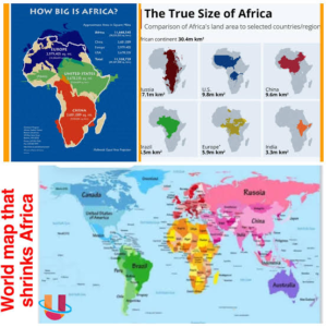
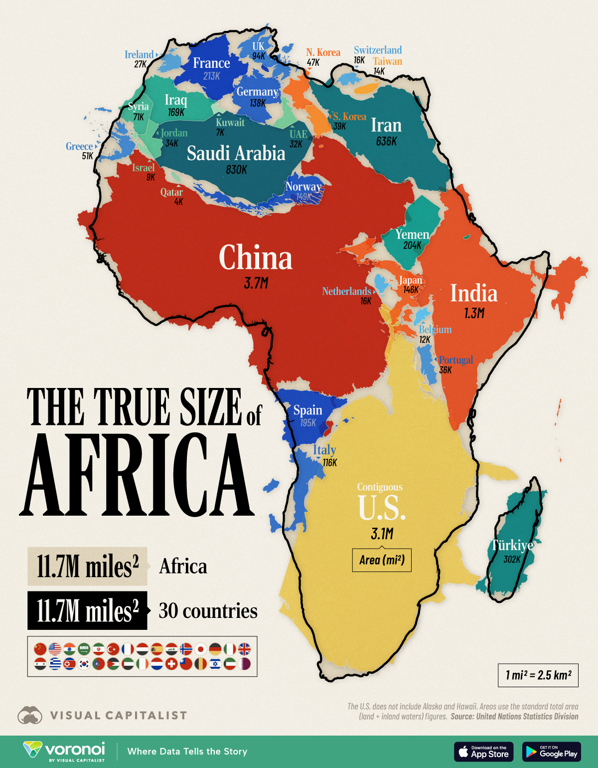
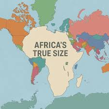
The Mercator projection, created in the 16th century, was designed mainly for navigation. However, it dramatically exaggerates the size of regions farther from the equator.
As a result, Greenland can appear almost as large as Africa, even though Africa is actually about 14 times larger.
The UN-backed resolution promotes the Equal Earth projection, which gives a more accurate visual representation of continental size. However, it does not ban the Mercator projection, particularly where it remains useful for navigation.
Togo’s Foreign Minister Robert Dussey said the campaign is about more than maps, arguing that the way the world is represented can influence how people understand the importance of different regions.
Togo has announced plans to change geography books in its schools and encourage other African countries, governments, schools, international organisations and technology companies to adopt more accurate maps.
France has also announced that it will stop using maps based on the Mercator projection, with Foreign Minister Jean-Noël Barrot arguing that distorted maps can influence how people perceive global power.
The United States, however, opposed the UN resolution, describing it as an ideological distraction from more pressing international issues.
For Africa, the campaign represents a push for geographical accuracy, and a challenge to how generations have been taught to visualise the world.